Topography and Access Restrictions
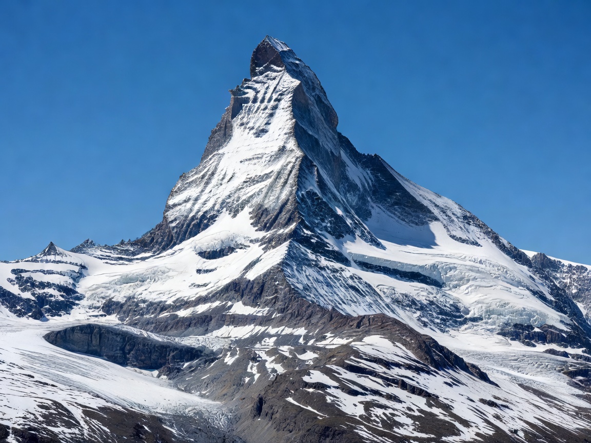
Zermatt lies at the southern extreme of the German-speaking section of Canton Valais, in the upper Mattertal valley. The village is surrounded by 38 four-thousand-metre peaks, the highest concentration in the European Alps, including the Monte Rosa massif (Dufourspitze, 4,634 m) and the Dom (4,545 m). The Matterhorn itself dominates the southwestern horizon, rising to 4,478 metres.
A defining operational feature of Zermatt is its strictly enforced car-free status, established in 1961 by communal vote. Private motor vehicles are prohibited past the village of Täsch, located 5 kilometres north. Travellers arriving by automobile must park in the massive multi-storey terminal facility at Täsch (Matterhorn Terminal Täsch) and board the Matterhorn Gotthard Bahn shuttle train, which runs at 20-minute intervals directly into Zermatt station. Within the village, mobility is handled entirely by silent electric taxis, hotel e-buses, horse carriages, and walking.
Key Mountain Viewpoints and Rail Links
Zermatt offers three main mountain ascent axes, each serving a distinct quadrant of the surrounding glacial cirque:
| Excursion Axis | Terminal Elevation | Technology System | Primary Perspective |
|---|---|---|---|
| Gornergrat | 3,089 metres | Open-air electric rack railway (opened 1898) | Direct panorama of Gorner Glacier & eastern Matterhorn flank |
| Matterhorn Glacier Paradise (Klein Matterhorn) | 3,883 metres | 3S cable car (Matterhorn Glacier Ride) | Europe's highest cable car station, glacier palace, Italian border crossing |
| Rothorn / Sunnegga | 3,103 metres | Underground funicular + gondola + cable car | Direct perspective of the classic pyramid horn and Findeln alpine hamlets |
The Gornergrat Experience
The Gornergrat Bahn was Switzerland’s first fully electrified cogwheel railway and remains one of its premier engineering assets. Departing from a dedicated terminal opposite Zermatt's main station, the train climbs 1,484 vertical metres over 9.3 kilometres of track, crossing the Findelbach bridge and winding through Swiss stone pine forests before breaking into open alpine tundra.
At the Gornergrat summit (3,089 m), visitors observe the confluence of the Gorner and Grenz glaciers beneath Monte Rosa. Two intermediate stations—Riffelalp (2,211 m) and Riffelberg (2,582 m)—provide trailheads for high-altitude walks. The famed path between Rotenboden and Riffelberg skirts the Riffelsee, a small alpine tarn where the Matterhorn’s reflection appears on windless mornings.
Pros and Cons: Visiting Zermatt
Advantages
- Peerless Alpine Scenery: The view of the Matterhorn from almost any point in the village and the surrounding ridges provides an unmatched visual identity.
- Glacier Skiing Year-Round: The Theodul Glacier offers summer skiing and snowboard training facilities on real snow even during July and August.
- Car-Free Tranquility: The absence of internal combustion traffic creates a quiet pedestrian atmosphere rare for an international alpine destination.
Disadvantages
- Significant Distance and Journey Time: Located at a dead-end valley terminus, reaching Zermatt from Zürich or Geneva requires a minimum of 3 to 3.5 hours on rail, changing at Visp.
- Premium Price Level: High altitude infrastructure maintenance, remote logistics, and global prestige translate to higher accommodation and dining rates compared to lower-altitude Swiss towns.
- Altitude Vulnerability: The top cable station sits at nearly 3,900 metres; visitors susceptible to altitude sickness should ascend gradually and stay hydrated.
Operational Insights for Travellers
Because the Gornergrat and Matterhorn Glacier Paradise cable systems are exposed to high-velocity winds at ridge crests, adverse weather can occasionally halt cableway operations with little warning. Travellers should download the official Matterhorn app or consult the electronic departure boards at Zermatt station for real-time wind speeds and operating statuses before setting out.