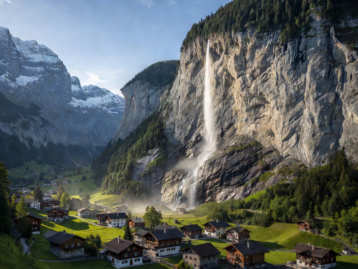
Geological Formation and Canyon Geometry
The Lauterbrunnen Valley represents a classic textbook example of a glacial U-shaped valley. Fed by ice flows descending from the Jungfrau, Mönch, and Eiger massifs, ancient glaciers excavated a trench nearly 1,000 metres deep into the surrounding limestone plateaus. Today, the valley floor rests at an elevation of 795 metres, framed on both east and west flanks by sheer vertical cliff walls rising between 300 and 500 metres.
Because the main valley floor was eroded far deeper than the tributary hanging valleys above, meltwater streams drop precipitously over the edge. In total, 72 catalogued waterfalls tumble into the valley floor. The most prominent is the Staubbach Fall, which drops 297 metres in a single plunge near the village center. In summer months, strong thermal updrafts often atomize the water into a fine mist before it reaches the ground, an atmospheric phenomenon documented by Johann Wolfgang von Goethe in his 1779 poem Song of the Spirits over the Waters.
The Subterranean Trümmelbach Falls
Located three kilometres south of the main village, the Trümmelbach Falls represent one of the world's most dramatic subterranean glacier drainage systems. The falls drain meltwater from the northern glacier walls of the Eiger (3,967 m), Mönch (4,107 m), and Jungfrau (4,158 m), carrying up to 20,000 litres of water per second during the peak early-summer thaw, alongside 20,000 tons of boulder debris and gravel annually.
A sequence of ten distinct chutes, corkscrew gorges, and subterranean pools has been hollowed out inside the mountain itself. A cliff-tunnel lift installed in 1913, alongside illuminated tunnels and viewing platforms, allows visitors to observe the tremendous acoustic and kinetic power of water grinding against interior limestone walls.
Cliffside Gateways: Mürren and Wengen
Lauterbrunnen serves as the lower staging terminal for two famous perched, car-free alpine terrace villages situated atop opposite cliff rims:
| Terrace Village | Elevation | Valley Side | Transit System From Lauterbrunnen |
|---|---|---|---|
| Mürren | 1,638 metres | West Cliff | Aerial cableway to Grütschalp, then narrow-gauge train to Mürren; or bus to Stechelberg, then Schilthorn cableway |
| Wengen | 1,274 metres | East Cliff | Wengernalpbahn (WAB) cogwheel rack railway (continuous 18% gradient) |
| Gimmelwald | 1,367 metres | Southwest Cliff | Schilthorn cableway mid-station from Stechelberg |
Pros and Cons: Lauterbrunnen Valley
Advantages
- Concentrated Visual Drama: Nowhere else in the Alps combines vertical cliff faces, roaring cascades, and pastoral church spires within such immediate proximity.
- Transit Hub for Peaks: Lauterbrunnen is the essential junction for reaching both the Schilthorn / Piz Gloria (via Stechelberg/Mürren) and the Jungfraujoch (via Wengen and Kleine Scheidegg).
- Flat Valley Walking: The 4-kilometre paved walking trail between Lauterbrunnen village and Stechelberg offers gentle, accessible strolling beneath towering waterfalls without steep climbing.
Disadvantages
- Limited Direct Sunlight: Due to the steep 300-metre vertical walls, the valley floor receives significantly fewer hours of direct sunshine per day than open plateaus like Wengen or Grindelwald, especially from November to February.
- High Daytime Pedestrian Traffic: As one of the most photographed valleys globally, parking facilities fill rapidly by mid-morning during high summer.
Operational Guidelines for Visiting
For rail travellers, the Berner Oberland Bahn (BOB) operates direct passenger trains from Interlaken Ost to Lauterbrunnen every 30 minutes. Note that BOB trains often decouple at Zweilütschinen station: the front portion continues to Lauterbrunnen while the rear portion branches off toward Grindelwald. Always verify the digital carriage display before boarding at Interlaken.